
User Tag List
Results 12,601 to 12,615 of 13842
 40541Likes
-
Wed, Sep 4th, 2019, 09:45 PM #12601Canadian Genius


- Join Date
- Jul 2010
- Location
- Trenton, ON
- Posts
- 7,084
- Likes Received
- 41396
- Trading Score
- 0 (0%)


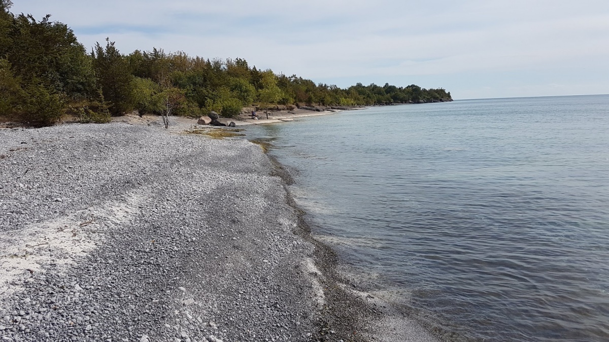
Not many places left you can drive on the beach and hang out in Ontario, at least that I know.
For P.E.C. it is Point Petre.
-
-
Thu, Sep 5th, 2019, 08:00 AM #12602Commander:Northern armies


- Join Date
- Jun 2010
- Location
- No one goes off-trail. No one walks alone.
- Posts
- 20,183
- Likes Received
- 65755
- Trading Score
- 0 (0%)

Cool morning. Niagara Falls is making clouds.

-
Fri, Sep 6th, 2019, 05:48 PM #12603
Tropical Storm Watch
Issued at 17:58 Friday 06 September 2019
SummaryTropical storm force winds of possible 90 gusting to 110 km/h over exposed areas from Hurricane Dorian may occur over the above regions.
For Hurricane Dorian.
The next information statement will be issued by 09:00 p.m. ADT.
Hurricane Dorian is accelerating towards Nova Scotia and will make landfall Saturday evening. Extreme winds and Heavy Rain for parts of Atlantic Canada.
1. Summary of basic information at 03:00 a.m. ADT.
Location: 36.4 North 73.8 West.
About: 202 kilometres northeast of Cape Hatteras.
Maximum sustained winds: 148 kilometres per hour.
Present movement: northeast at 32 kilometres per hour.
Minimum central pressure: 958 millibars.
2. Public weather impacts and warnings summary.
A Hurricane Warning is in effect for central and eastern Nova Scotia, and a Hurricane Watch is in effect for southwestern Newfoundland.
Tropical storm watches are in effect for western Nova Scotia, southeastern New Brunswick, Prince Edward Island, the Magdalen Islands and northwestern Newfoundland.
According to the latest forecast guidance, the most likely track projection brings Hurricane Dorian south of the Maritimes on Saturday, passing near or over Halifax Nova Scotia Saturday night, and then over the eastern Gulf of St. Lawrence waters or western Newfoundland by Sunday morning.
Severe winds and torrential rain will have major impacts for southeastern New Brunswick, Prince Edward Island, Nova Scotia, Western Newfoundland, and the Quebec Lower North Shore, and the Magdalen Islands. Large waves are expected for the Atlantic coasts of Nova Scotia, Newfoundland and for eastern portions of the Gulf of St. Lawrence. Finally, storm surge, combined with large waves and pounding surf, may give flooding for parts of Nova Scotia, Prince Edward Island, Newfoundland, and the Magdalen Islands.
a. Wind.
Most regions will experience tropical storm force winds of 90 to 110 km/h, beginning over southwestern Nova Scotia Saturday morning, in the afternoon over eastern Nova Scotia, and towards evening for Prince Edward Island, the Magdalen Islands, and southwestern Newfoundland. Near and to the south of the forecast track, winds will reach hurricane force of 120 km/h or more. Behind the storm, there is a possibility of storm to hurricane force northwesterlies. Wind impacts will likely be enhanced by foliage on the trees, causing broken branches and tree falls, resulting in power outages, blocking of roads, and other type of damages.
Hurricane force wind warnings are in effect for Eastern Nova Scotia and Eastern Prince Edward Island. Wind warnings are in effect for Southwestern Nova Scotia, Western Prince Edward Island, and the Magdalen Islands.
b. Rainfall.
Rainfall will be a major factor as torrential rain may lead to flooding. The highest rainfall amounts are expected over Nova Scotia, Prince Edward Island, and the Magdalen Island where 50 to 100 mm are expected. Forecast guidance is also suggesting a swath in excess of 150 mm north and west of Dorian's track. Some districts have received large quantities of rain last week, and with the soil moisture still very high, excessive runoff may exacerbate the flooding potential. This combined with the severe winds may result in damage due to falling trees.
Rainfall warning for Western Nova Scotia, Western Prince Edward Island, extreme eastern and southern New Brunswick.
c. Surge/Waves.
There will also be rough and pounding surf, especially for parts of Nova Scotia, Newfoundland and the Gulf of St. Lawrence. Waves of 7 to 10 metres will reach the Southwestern Shore of Nova Scotia on Saturday and spread to the Eastern Shore Saturday night. These waves will likely reach southern Newfoundland by Sunday morning with waves nearing 12 metres. Waves of 4 to 7 metres will impact north facing coasts of the Gulf of St. Lawrence. Note that waves will break higher along some of the coastlines, and dangerous rip currents are likely. Please exercise extreme caution.
Storm surge is an issue, mainly for the Atlantic coast of Nova Scotia, the north coast of Prince Edward Island, southwestern Newfoundland, and the Magdalen Islands. Current guidance suggests water levels approaching inundation levels during high tide. However, when combined with rough and pounding surf, there may be flooding and overwash of waves.
Storm surge warnings will be issued for Blanc Sablon, Chevery and Anticosti Island, as well as the Magdalen Islands, overnight.
3. Marine weather impacts and warnings summary.
Hurricane force wind warnings are in effect for southern and eastern waters of the Maritimes.
As Dorian moves into our waters, it will spread hurricane force southeasterlies near and south of its track, over offshore Canadian waters. As the hurricane moves further into the Maritimes, storm to hurricane force northwesterlies will develop behind it. Waves of 10 to 15 metres are expected south of the storm track, beginning late Saturday over southwestern waters and approaching the south coast of Newfoundland Sunday morning. As the low continues east Sunday into Monday, waves of 4 to 7 metres will develop over eastern waters, and for the southwestern Grand Banks will build to 5 to 10 metres and will diminish to near 5 metres late in the day.
Hurricane force wind warnings are in effect for most Atlantic watern and storm warnings are in effect for most other wat
-
Fri, Sep 6th, 2019, 07:14 PM #12604Commander:Northern armies
- Join Date
- Jun 2010
- Location
- No one goes off-trail. No one walks alone.
- Posts
- 20,183
- Likes Received
- 65755
- Trading Score
- 0 (0%)
Dorian was a cat 5 just 80 miles from my front door a few days ago.
Don't worry this guy is always the first to lose his leaves.
 @
@
;

-
Sun, Sep 8th, 2019, 03:00 PM #12605
..Dorian has arrived, super windy!! Winds are gusting to about 90km/hr and expected to increase to 110 this evening, no rain so far & mostly sunshine
-
Mon, Sep 9th, 2019, 06:39 PM #12606

-
Tue, Sep 10th, 2019, 07:46 AM #12607
Its a beautiful morning, no wind for a change! +15 for this afternoon & sunny..it will be a beautiful afternoon for a hike along the seashore

-
Thu, Sep 12th, 2019, 09:14 AM #12608Canadian Genius
- Join Date
- Jul 2010
- Location
- Trenton, ON
- Posts
- 7,084
- Likes Received
- 41396
- Trading Score
- 0 (0%)
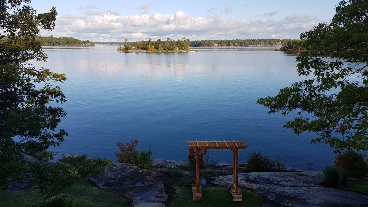
I have been away for a while, attended my niece's wedding in the Parry Sound Area.

Beaver Dam Rocks at Killbear Provincial Park
Morning of the Wedding

The Kiss

Sunset from the deck
-
Thu, Sep 12th, 2019, 01:31 PM #12609
^ wow!! beautiful pics

+9 and rain here today...frost advisory for tonight. Too tired today, but hoping to take all the herbs & veggies out of the garden tomorrow. I have lots of tomatoes but they're still green as we didn't have a very warm summer. Not sure what they'll be like to eat
-
Fri, Sep 13th, 2019, 08:28 AM #12610

-
Fri, Sep 13th, 2019, 09:46 AM #12611Canadian Genius
- Join Date
- Jul 2010
- Location
- Trenton, ON
- Posts
- 7,084
- Likes Received
- 41396
- Trading Score
- 0 (0%)
Green tomato relish? Originally Posted by KelJo

-
Mon, Sep 16th, 2019, 09:56 AM #12612
^ Thanks!! I read online if I wrapped them individually in newspaper and put in a paper bag in a cool spot they may ripen, so I picked the best ones and giving it a try....beautiful here today +15 for this afternoon and sunny with not much wind
-
Mon, Sep 16th, 2019, 09:47 PM #12613Commander:Northern armies
- Join Date
- Jun 2010
- Location
- No one goes off-trail. No one walks alone.
- Posts
- 20,183
- Likes Received
- 65755
- Trading Score
- 0 (0%)
The mighty Niagara flows from the Whirlpool (top) down toward Lake Ontario.
The mist from the Falls is in the background.

Last edited by rock lobster; Mon, Sep 16th, 2019 at 09:53 PM.
-
Tue, Sep 17th, 2019, 02:01 PM #12614Canadian Genius
- Join Date
- Jul 2010
- Location
- Trenton, ON
- Posts
- 7,084
- Likes Received
- 41396
- Trading Score
- 0 (0%)
Loving September so far, quiet after the kids go back to school.
Everyone knows that...

-
Tue, Sep 17th, 2019, 02:27 PM #12615Bean bun going offline


- Join Date
- Jul 2009
- Location
- Ontario
- Posts
- 17,846
- Likes Received
- 24776
- Trading Score
- 12 (100%)


Fall weather forecast for the different areas of Canada, courtesy of the Weather Network:https://www.thespec.com/news-story/9...e-in-ontario-/
Am enjoying another fine windy and sunny (though a touch chilly) day as laundry is on the line!2021-Bring on the sunshine, sweets & online shopping.
 Send PM
Thread Information
Users Browsing this Thread
There are currently 1 users browsing this thread. (0 members and 1 guests)
